Snowy gorge below the Mt. Hokuchindake junction and the Akaishi River

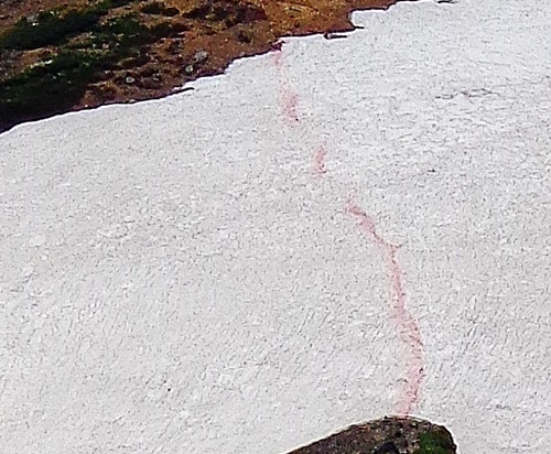
Unlike most years, the snowy gorge below the junction is without undulations. It covers about 70 meters. Climbers are asked to descend it with particular care.
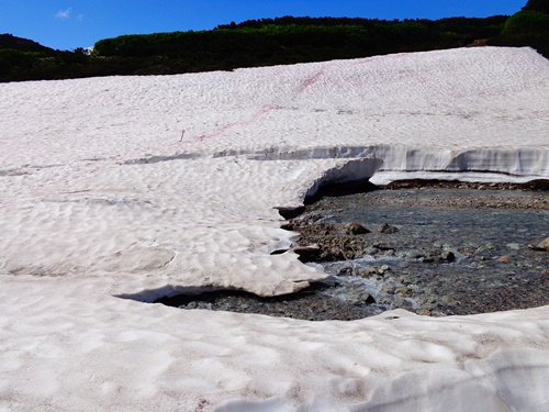
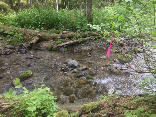
As of today, the gabions of the Akaishi River are visible.
Although it is still possible to walk on the snow, the situation will change as the temperature rises.
Therefore, climbers should be fully prepared with all necessary equipment.
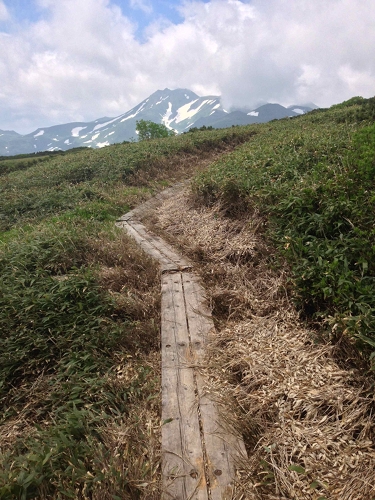
Photos: Snowy gorge below the Mt. Hokuchindake junction (left) and Akaishi River (right) Jul. 4

Notice

The Mikasa Shindo from Sora-numa of the Kogen Onsen-numa route through Takanegahara will be closed beginning tomorrow, July 4, due to frequent sightings of Ursus arctos yesonesis activity in the area.
We appreciate your understanding.
July 3, 2014

An exhibit of mountain landscapes at Daisetsuzan National Park

This year marks the 80th anniversary of Daisetsuzan National Park’s designation as a national park on December 4, 1934. The Sounkyo Visitor Center is exhibiting over 20 photographs depicting typical mountain landscapes in the park in its lecture room, which is located in the back of the first floor. We hope you will drop by to have a look.
Photo: The mountain landscape photo exhibit Jul. 2

Upper area of Goshikigahara

Looking at Goshikigahara as a whole, the snow has only just melted, so the flowers are not blooming together. However, communities of just blooming Lagotis yesoensis can be seen at the top. Just prior to the forest road’s closure in 2010, the boardwalk was covered with bamboo grass and very difficult to walk on. However, the grass has been well cut back and the boardwalk is now much easier to walk on. I would like to thank the organizations concerned for their hard work
in making this possible.
Photos: A community of Lagotis yesoensis in upper Goshikigahara (left) and the boardwalk in upper Goshikigahara (right) Jul. 2

Stream crossing on the Numanohara trail

Upon descending back down to the stream after following the winding trail along its right bank from the trailhead, I found that the bridge of large Picea jezoensis logs that previously stood there has been washed away. I was therefore forced to cross the flowing water by stepping on stones.
Crossing may be difficult when the water rises, so it is probably best to check the weather report before starting out.
Photo: The Numanohara trail stream crossing Jul. 2