Numanohara trail report
Heavy rain in 2016 broke forest road that goes to Kuthanbetu trail head.
But June 27th this road open again.
This gate has no key, hikers remove a chain to enter.
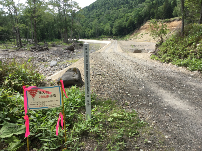
Heavy rain in 2016 was so terrible.
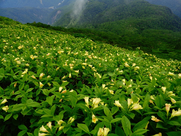
Large-scale restoration work was carried out. (Picture 1)
And hikers can write a hiking resistration.
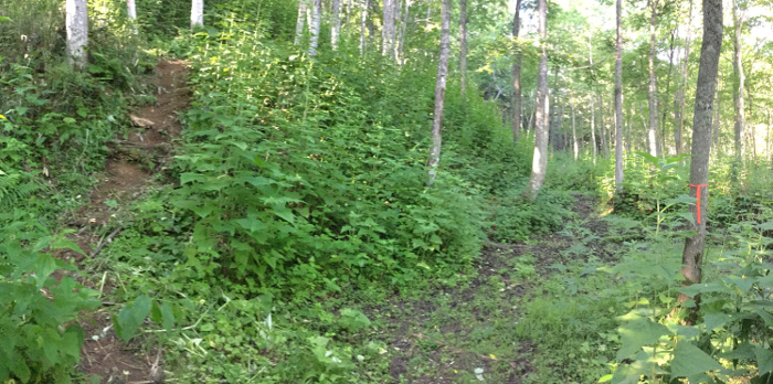
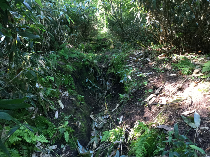
As soon as you start walking, you find a junction. (Picture 2)
You go to the left. This is the trail now.
Before there was another route, that hikers walk along the stream, that is on Geografical Survey Institute map.
But this route was broken by heavy rain again and again.
In 2016 they made new route that hiker walk right side of Nishiki stream.
Now Original route is under the construction.
After construction hikers can use 2 route.
① One is walking right side of Nishiki stream and walking along mountain surface.
② The other is walking along Nishiki stream, and crossing Nishiki stream.
(Now hikers use only ①route)
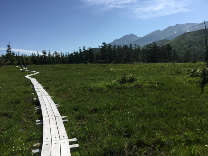
The trail to Numanohara is well maintained.
Bamboo is cut down.
It seem unchanged from 2016.
Onuma camp site have enough space to build a tent.
Because the amount of water is low.
After heavy rain, this camp site will be under the water.
Be careful!
Heavy rain in 2016 broke forest road that goes to Kuthanbetu trail head.
But June 27th this road open again.
This gate has no key, hikers remove a chain to enter.
Heavy rain in 2016 was so terrible.
Large-scale restoration work was carried out. (Picture 1)
And hikers can write a hiking resistration.
As soon as you start walking, you find a junction. (Picture 2)
You go to the left. This is the trail now.
Before there was another route, that hikers walk along the stream, that is on Geografical Survey Institute map.
But this route was broken by heavy rain again and again.
In 2016 they made new route that hiker walk right side of Nishiki stream.
Now Original route is under the construction.
After construction hikers can use 2 route.
① One is walking right side of Nishiki stream and walking along mountain surface.
② The other is walking along Nishiki stream, and crossing Nishiki stream.
(Now hikers use only ①route)
The trail to Numanohara is well maintained.
Bamboo is cut down.
It seem unchanged from 2016.
Onuma camp site have enough space to build a tent.
Because the amount of water is low.
After heavy rain, this camp site will be under the water.
Be careful!