Toward Kumonotaira and the Akaishi River

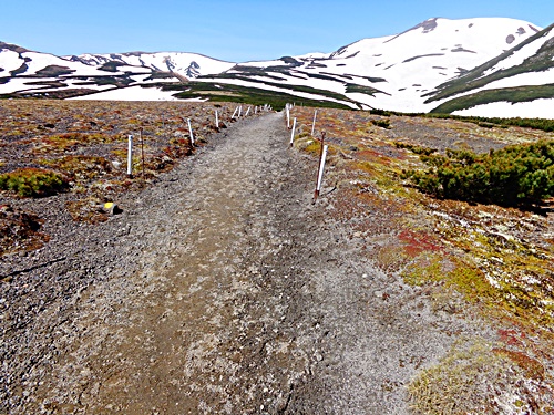
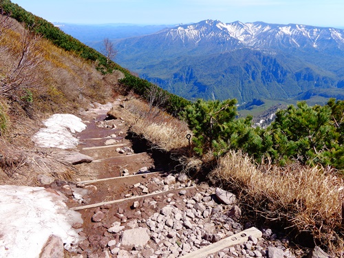
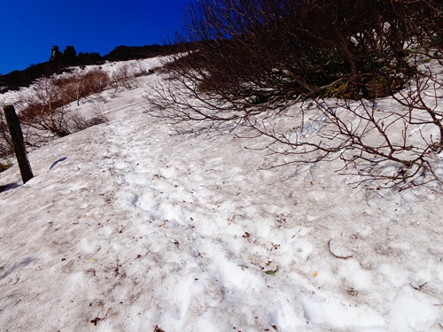
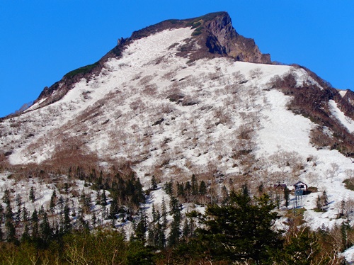
The trail in the direction of Kumonotaira still has patches of snow on it here and there.
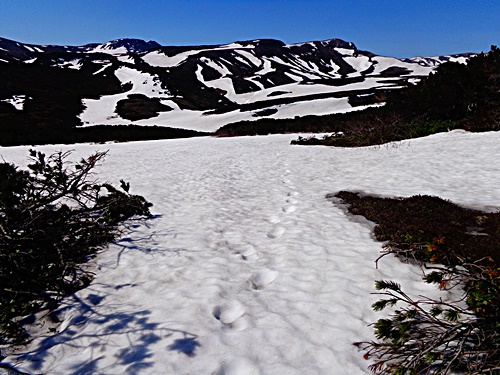
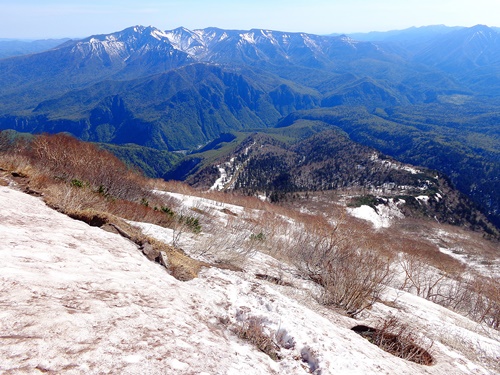
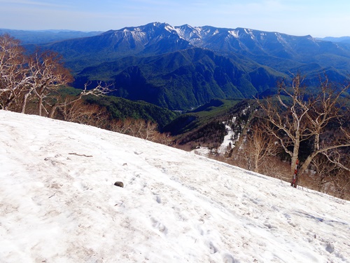
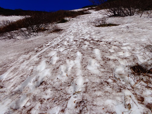
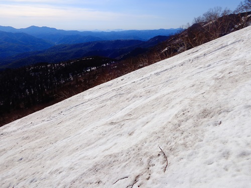
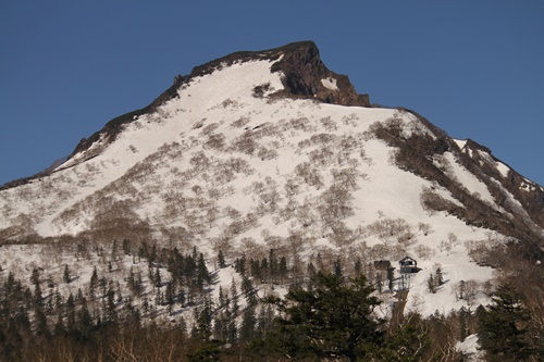
The trail toward the Akaishi River is completely covered with snow.
Climbers are advised to be fully prepared for safe climbing, remembering that they will need a map and compass for times of poor visibility.
Photos: Looking in the directions of Kumonotaira, which is partially snow-free, and the Akaishi River Jun. 2

Just below the Mt. Kurodake peak

This was the most difficult stretch.
As is the case every year, the area just below the peak is a steep slope.
Caution is particularly required when descending.
Be sure to climb and descend carefully, as the danger of slipping and falling is great.
I should mention that the snow is melting up to the first bend directly below the peak.
Photos: Near the Mt. Kurodake peak Jun. 2

The 9th Station of Mt. Kurodake

The snow depth pole and part of a bench were exposed.
Last year only a portion of the pole was exposed, so based on this alone it is apparent that melting is progressing.
However, the trail from here becomes tricky.
Because the trail is still hidden, it becomes necessary to walk on the snow. There are many areas where the danger of punching through the snow exists and where trees limbs are sticking out.
Walking is extremely difficult.
Trekking poles and spats are essential at this time of year.
Photo: Near 9th Station of Mt. Kurodake

The 7th and 8th Stations of Mt. Kurodake

Although it is true that the snow is melting, we are still in early June.
Accordingly, the faces of Mt. Kurodake remain almost completely covered with snow.
Only the very top of the snow depth pole at the 8th Station (right photo) can be seen.
The weather forecast predicts that days of warm temperatures will continue, and therefore melting will progress with each passing day.
However, the surface of the snow on this slope freezes in the mornings and evenings, and thus care is required when ascending and descending.
Caution should also be exercised during times of poor visibility.
Photos: The 7th Station (left; Mt. Oakan, Mt. Fubbushi, Mt. Meakan, and Mt. Akanfuji could be seen in the distance to the east) and the area around the 8th Station (with the top of the snow depth pole showing) and Mt. Niseikaushuppe (right) Jun. 2

Mt. Kurodake’s northeastern face

Mt. Kurodake received more snow this year than last year. However, the weather has been warm these past few days and the snow is melting quickly.
The photo on the left was taken today, while that on the right was taken on June 1 of last year. As can be seen in the photos, melting is progressing much faster this year than it did last year.
*For mountain information, see: http://sounkyovc.net/trails/kuro/140602kuro.pdf
Photos: Melting conditions on Mt. Kurodake on June 2 of this year (left) and June 1 of last year (right)